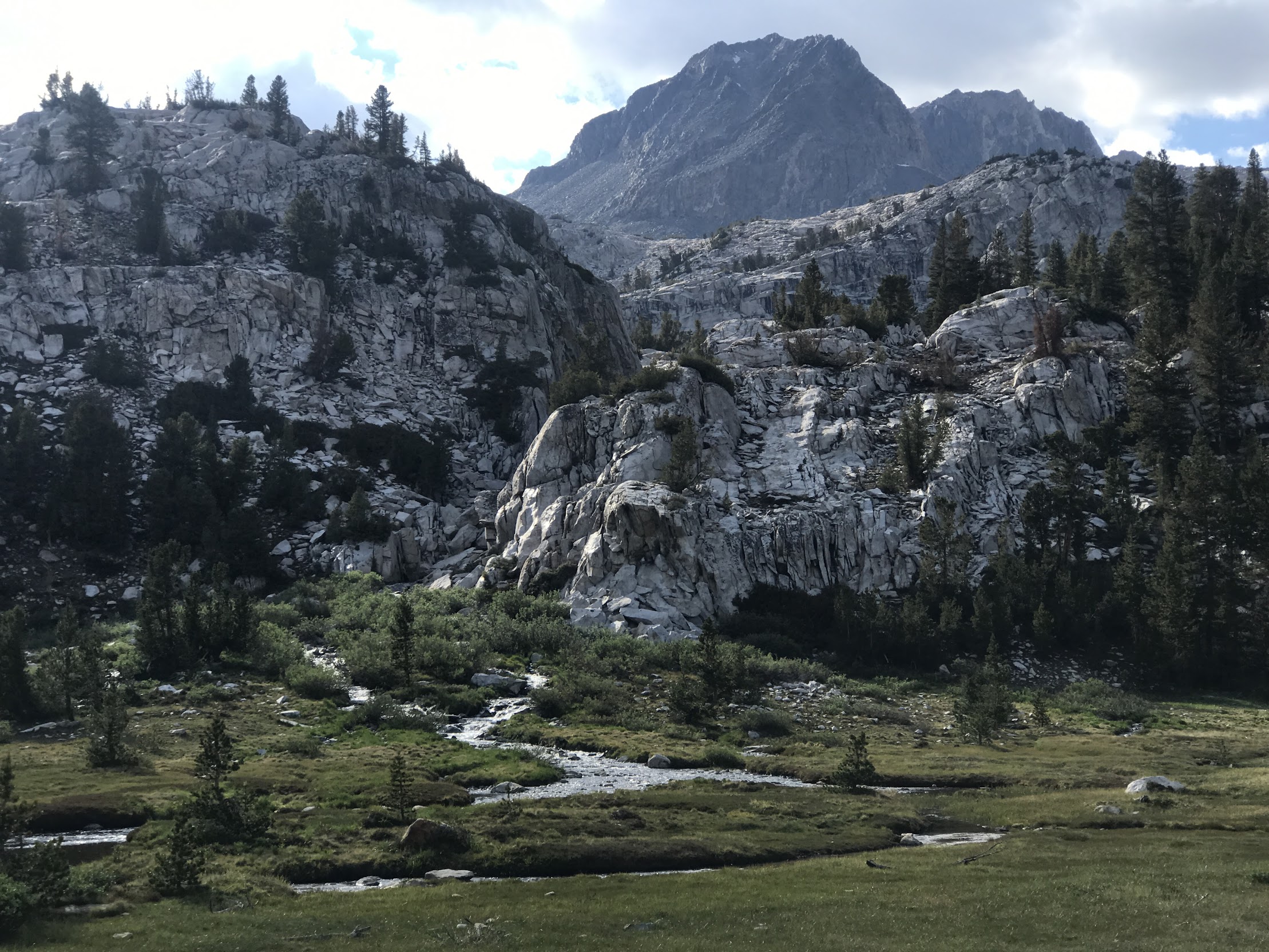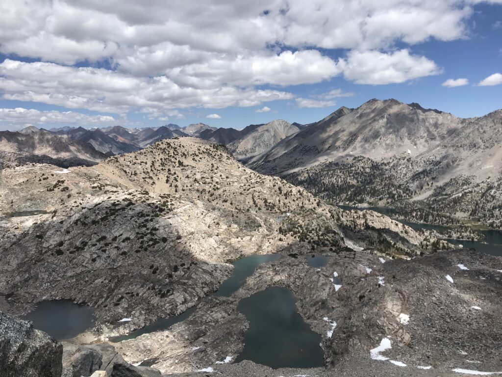
Land Acknowledgement: Mono (Monache), Yokuts, Tübatulabal, Paiute, and Western Shoshone. The JMT route was originally used by the Paiutes and called Nüümü Poyo.
The John Muir Trail (JMT) is a kick to the ego, a swift battering to muscles and joints, it makes you question if you even understand how to walk. But then, as soon as you think you’d rather collapse than take one more step, it opens up its threatening spires to reveal glaciated lakes, rare wildflowers, and an ancient beauty so pure it causes tears. Lonely, desperate, aching, and absolutely f–ing incredible.
There is a reason that thousands of people hike the JMT every summer. There is generally mild weather (though don’t discount a freak summer snowstorm or daily lightning) along this trail that traverses three national parks, two wilderness areas, and some of the county’s most iconic scenery. Though the trail gains over 46,000 feet in 211 miles, it is generally graded for pack animals, which means that it maintains an average 15% grade. The most intriguing part of the John Muir Trail is the incredible landscapes and experiences one can have within a three week period versus committing to a longer trail.
If you are considering or actively planning a JMT hike, I’m here to give you an inside look at my 2022 hike and the planning, prepping, and packing it took to get there.
Planning
Planning for a Permitting
Before you apply to the permit lottery, sit down and think about what your ideal hike would look like. This includes your time frame and direction.
Most people take about three weeks to hike the JMT –– an average of 10.5 miles a day. A friend of mine hiked it in two weeks and regretted it, feeling like she didn’t get to slow down and appreciate the trail. It’s your hike and your speed but make sure you are listening to your body’s (and mind’s!) needs. Just because you can walk 25 miles a day, doesn’t mean you should.
The best time to hike the trail depends on what you are willing to put up with. Expect snow to be present through May and early June on an average year. Expect mosquitos during June and July. Expect hordes of PCT, JMT, and day hikers in July and August (though there will always be a crowd on the trail). Water should be plentiful throughout summer in most sections, but water crossings should be easier and safer starting late July (in an average year). The later in the summer you hike, though, the chances of being forced off trail by a wildfire increases.
We hiked from June 20th-July 8th. Besides mosquitoes, a random snowstorm, and lingering snow on some north-facing slopes, I loved this time. The wildflowers and waterfalls were incredible. The water crossings felt easy to navigate –– though the 2021/22 snowpack was under average. There were quite a lot of people hiking during this time. At the campground by the Woods Creek Suspension Bridge (south of Pinchot Pass), it felt like there were 25 other hikers camped out. Most nights, we camped around at least four other groups.
Finally, choose whether you’d like to hike northbound (NOBO) or southbound (SOBO). There are benefits to both. SOBO hikers can get acclimated at lower elevation before tackling the 11,000-plus-foot passes in the High Sierra. We chose to hike NOBO, however, because the permits are easier to get and allowed us to end in Yosemite which meant easier access to public transportation. However, this meant that we had to hike almost 100 miles before our resupply, forcing us to carry more food and heavier packs.
Obtaining a Permit
Though you may have come up with the perfect plan, you should approach the JMT with flexibility as permits are difficult to obtain. It might be nice to hike southbound, but if you find a permit for northbound take it! It might be nice to start at the official trailhead but it might be that you have to obtain a permit for a different trailhead. Flexibility is key.
You only need one permit to hike the John Muir Trail as a contiguous hike from wherever you plan on starting your hike. For any permits, be logged in to your Recreation.gov account and on the correct page by 7am to give yourself the best chance for securing.
SOBO Hikers
Regardless of starting in Yosemite, if you plan on hiking SOBO and exiting the park through Donohue Pass, you must obtain a permit for either Happy Isles or Lyell Canyon. Permits must be Donohue Pass eligible (Happy Isles and Lyell Canyon offer non-Donohue Pass eligible permits). Because of this, plan to apply for the lottery. Starting in November, lotteries open on a weekly basis. You may apply for the lottery between Sunday and Saturday of your given week; the date of application does not affect the results of the lottery. Permits do NOT include permits for hiking Half Dome.
If you can’t get a Donohue-eligible pass, a popular alternative entry is Thousand Island Lake via the Rush Creek trailhead. This is also a very popular permit. Be logged on to your Recreation.gov account and on the proper page to start the application process at 7am, six months in advance. 60% of permits are released at this time; the remaining 40% of permits are released 2 weeks in advance, on the same day of the week.
NOBO Hikers
If you want to try your luck at a Whitney permit, be aware of lottery dates. For the 2024 permit season (May 1-November 1), the lottery was open from February 1-March 1. The lottery is the only way to secure a permit for Whitney. They are in high demand not only by JMT hikers, but also day hikers.
If you don’t win the Whitney lottery, there are several good trailheads south of Whitney to start the trail from. Cottonwood Pass is a popular alternative. For this entry point, 60% of permits are available six months in advance; 40% are released 2 weeks in advance, on the same day of the week. Permits are available through Recreation.gov. This is the option we went with for our hike, adding on roughly 22 miles to the journey.
Resupply
Because the JMT is a shorter hike than the PCT, hikers are less likely to want to travel to common PCT resupply towns like Bishop. These resupply spots require hiking 8-13 additional miles one way (and a helluva a lot of uphill) plus hitchhiking or finding transportation from sometimes very remote trailheads into town. JMT hikers, instead, prefer to resupply at the following (starting with south to north):
- Muir Trail Ranch (MTR)
- Vermilion Valley Resort (VVR)
- Mammoth Lakes via Reds Meadows
- Tuolumne Meadows
Between MTR and Whitney Summit is 98.5 miles, which means that with 15 miles/day, it would take 6.5 days to complete the journey. If you are hiking NOBO and start at Cottonwood Pass, add an extra day and a half (about 23-ish miles) to that journey between Whitney and MTR. NOBO might want to carry extra food, too, because adjusting to this high elevation and work of the trail is difficult and you may move slower than 15 miles/day. Between Cottonwood Pass and MTR, there are food storage lockers which you can use for carrying extra food that doesn’t fit in your bear canister.
MTR does not have supplies available for hikers to resupply (nor a restaurant). A small store offers limited essentials like toilet paper or bug spray, but do not depend on this. If you would like to resupply here, you must send a package with your food. MTR has strict rules for the type of container, dates to send, and payment methods. Be sure to carefully read through and follow all rules or risk your resupply to not show. There is no camping at MTR.
VVR has similar rules for sending resupply packages, but also provides camping, showers, laundry (plus loaner clothing), Wi-fi, massage therapy, USB charging stations, restaurant, and shop with hiker-friendly foods. Hikers do comment that the store is hit-or-miss, expensive, and best not to depend on for a complete resupply.
Mammoth Lakes is the first and only real town along the trail (barring Yosemite Village). This is an extremely hiker-friendly town. To resupply here, get off trail at Reds Meadow, Devils Postpile, or Agnew Meadows where the Reds Meadow Shuttle takes people into town. You will need to pay for this shuttle ($$) but you can book upon arrival. Hikers can use the free in-town trolley that operates every 15 minutes. Mammoth has plenty of grocery stores, breweries, and restaurants (hit up The Stove for breakfast and Roberto’s Cafe for monster burritos). Look through all the town’s offerings, including places to sleep and shower, here.
Tuolumne Meadows has a post office and reliable store. The Tuolumne Meadows Grill is temporarily closed, fingers crossed for its return. While you can mail a resupply here, hikers will likely be okay restocking on a few essentials at this point.
Gear In My Pack
- Maps, both on FarOut and paper
- A battery with enough power to recharge my phone 4x
- Rain jacket and pack cover
- Trekking poles (which made steep terrain more manageable for joints)
- Compression sleeves for knees and ankles (my body hated me)
- Baggie of Ibuprofen
- UL first aid kit
- Nemo Tensor sleeping pad
- Nemo Disco 15 (too warm, I’m just too cheap to buy another one)
- REI 2 person tent with rainfly and extra stakes (heavy as hell, but I loved having a mesh tent to look at scenery)
- UL hammock set up from Grand Truck (I loved using this, worth the extra pound)
- Hammock pillow from Grand Trunk (heavier than inflatable options but worth it)
- Katadyn 1L filter (my partner carried a bigger filter for camp use, but this was so nice to dip into streams and filtering while walking to avoid mosquitos)
- Sea to Summit head net (do NOT skip)
- Bear Vault (required, don’t be that dick that doesn’t carry one)
- Body Glide anti chafe balm
- Darn Tough socks (two pairs, they dry the quickest and dry feet = fewer blisters)
- Tevas for camp (I ended up hiking almost 20 miles in these because of blisters)
- Headlamp
- Trowel, flushable wipes, and extra bag for used wipes
- Bug spray
- Sunscreen
- Book
- Leggings
My pack, with a full resupply and water, weighed 43 pounds. I firmly believe that what you carry on your hike is your own damn business; it’s your weight to shoulder. However, in the southern sections, expect to gain and lose 3000-4000 feet a day. If you have joint issues already or are not particularly in shape, consider lightening up a bit. My knees screamed during the descents in this section.
Putting in the Work: Hiking
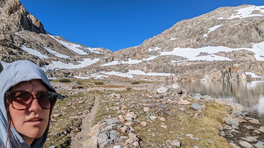
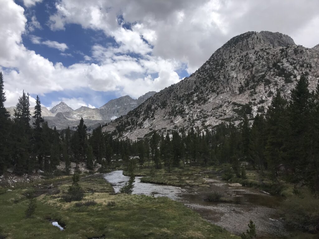
This was my first time traveling for an extended period in the high country; my hiking resume kept to the forested areas in the northern parts of the Sierra. For those who don’t have experience above the timberline, there is an adjustment period that comes with traversing this territory, especially NOBO.
Starting at Cottonwood Pass, I struggled immediately. Not only did the elevation get to me, despite camping at the 9,900 foot Horseshoe Meadow, but so did my lack of physical preparation and the weight of my pack.
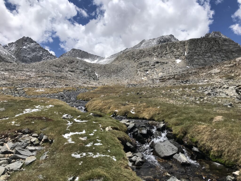
As we neared the 13,120 foot Forester Pass, after a snowstorm forced us away from climbing Whitney, the peaks extended out in front of us, determining our days. Because of daily lightning storms and general exposure, the common goal seems to be hiking a pass every morning, then getting down to the treeline – in some cases by over 2,000 feet below the pass – before lightning started, and hiking until the closest camp to the next pass approach.
The rigidness of the routine added a mental toll to me; no longer did it feel like a carefree backpacking trip but rather a job. I became jealous of a man we passed who was hiking for three months on an “anti-PCT” journey. He threw away the construct of a predetermined route and positioned himself to enjoy week after endless week exploring the eastern Sierra. When we spoke, he had a rough plan for the next few days, but admitted he would change it based simply on how he was feeling.
My hiking partner, though also jealous of our anti-PCT counterpart, did not struggle with the daily routine. He was already adjusted to this type of travel across the High Sierra, as well as the stark landscapes and constant threat of afternoon lightning. He was elated at the opportunity to climb the next pass.
I regret nothing more than looking at him and professing “I hate it here” on a particularly challenging hike up Pinchot Pass (Pinche Pass, I began to call it). Especially when injury forced him off trail. I was so stuck in my head, stubborn thoughts of missing freedom clouding those ascending treks.
During those uphill pushes, I wish I put myself in the environment more and asked for more breaks. Along with stubbornness, my ego got the best of me. I wanted to keep up with the fit PCT hikers journeying north with us. To show them, these people I would never meet again, that I was rugged and tough like them. That I was worthy of praise and adoration. Despite pushing past my limits, both physically and mentally, I refused to ask my partner if we could slow down, take a snack break, or chat about the difficulties of the trail.
Finally, though stark and remote, hordes of other hikers made me feel like I was sleeping in a drive-up campground each night. At times, it felt less like a wilderness experience and more like a class field trip. As mentioned above, the camp at Woods Creek Suspension Bridge was overwhelmed with others. I sat awake in the middle of night debating where I’d go to pee that wasn’t 600 feet away or within ear- or eyesight of another camper.
Even through this, the High Sierra was my favorite part of the trail. Forester Pass (13,120) is the highest pass I’ve ever climbed, and the feeling of making it to the top, especially after looking up at it from the approach, is indescribable.
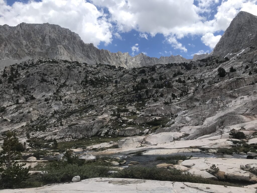
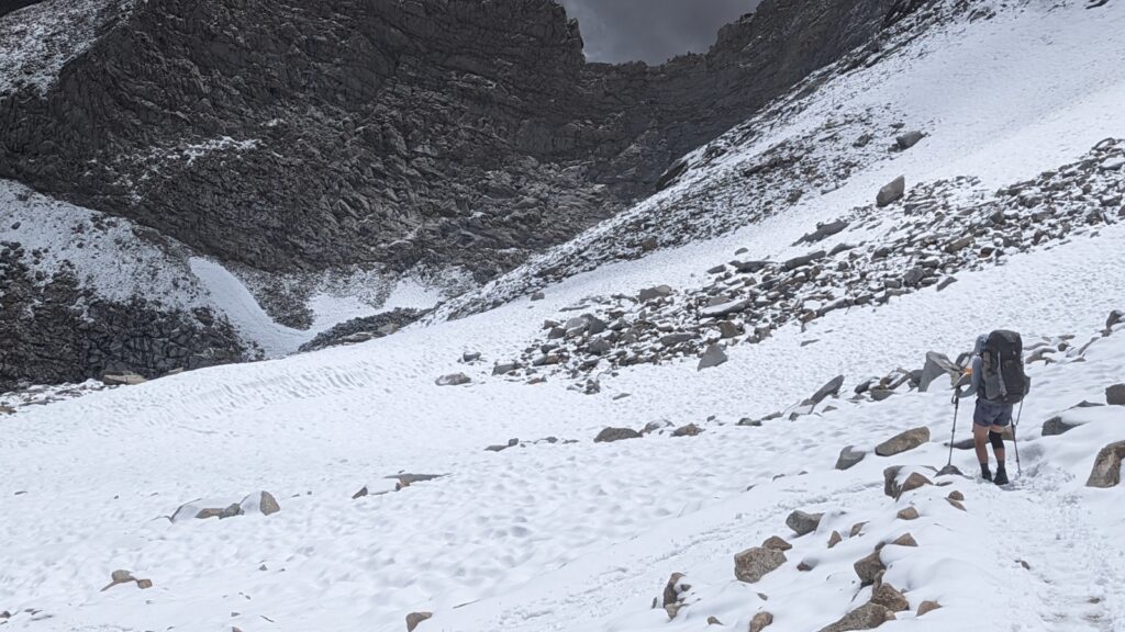
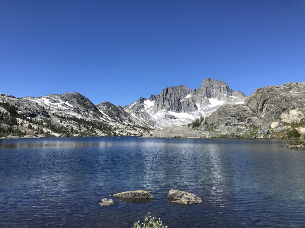
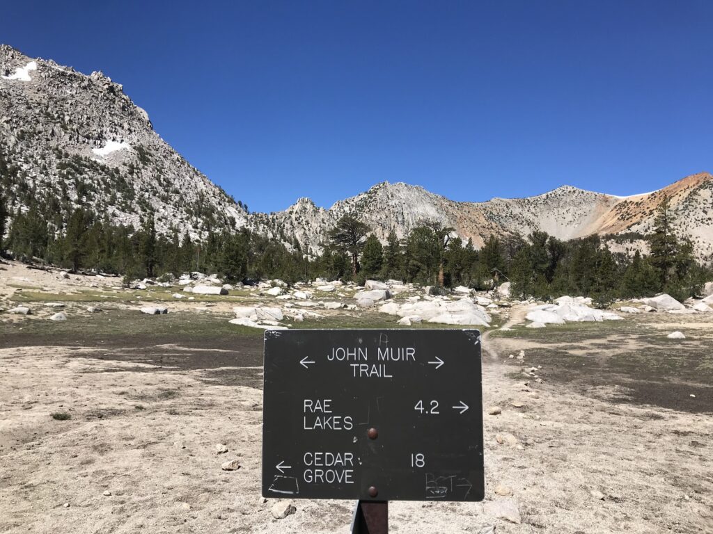
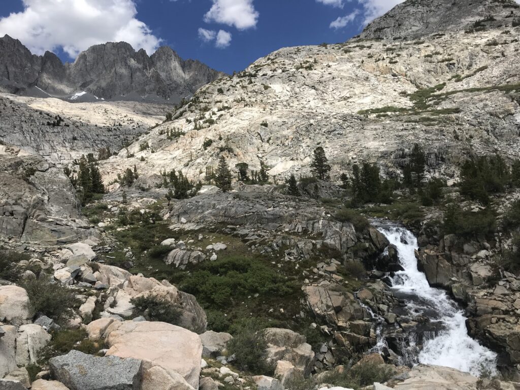
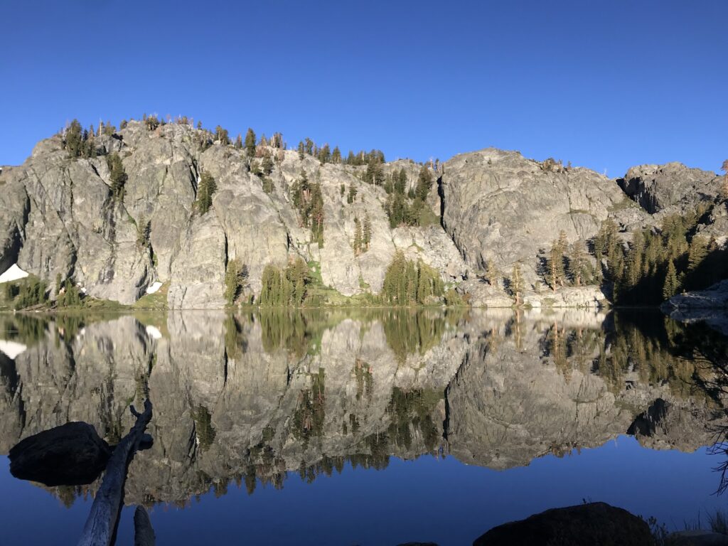
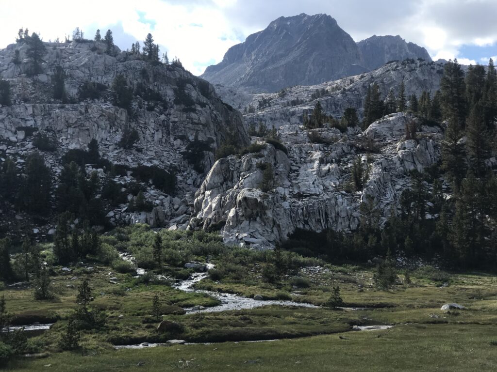
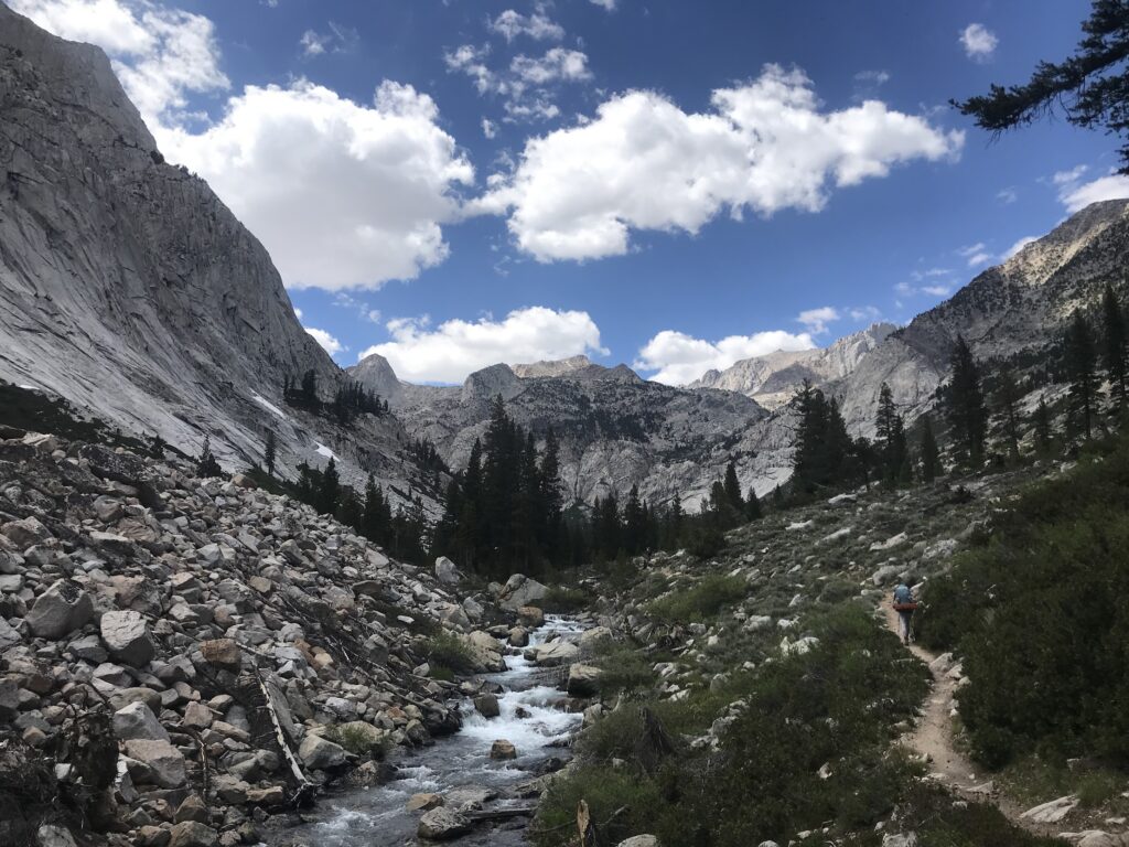
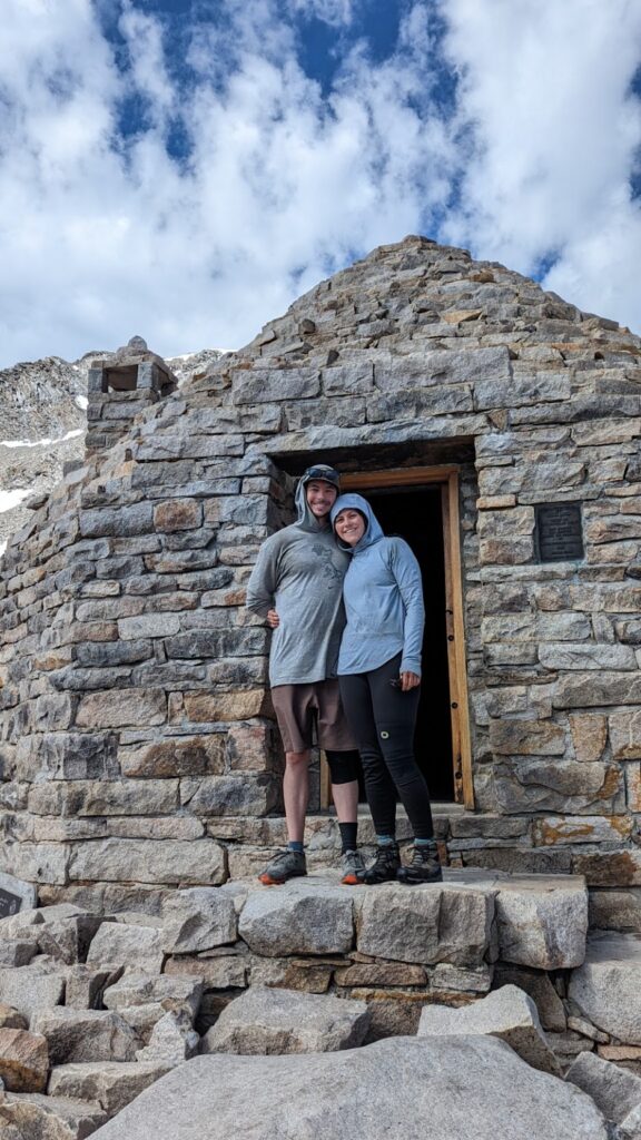
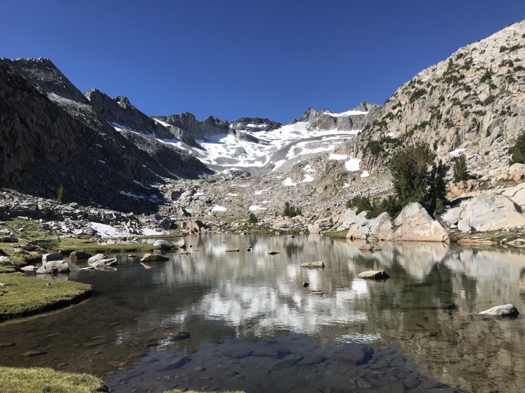
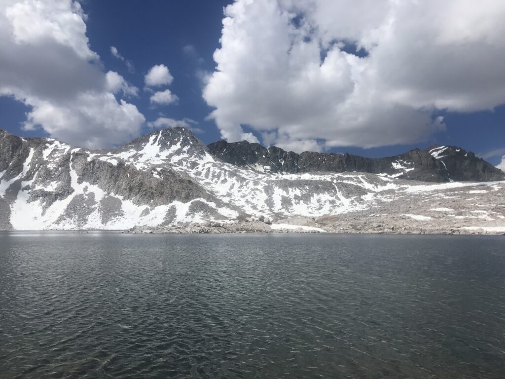
When thinking of the highlights of the trip, my memory couldn’t stop: Approach to Muir Pass; Muir Pass; traveling from Muir Pass to Evolution Basin; Forester Pass; section from Island Pass to Donahue Pass; finding sky pilots along the northern descent of Forester; seeing marmots sunning and pikas darting under rocks; that one day, in the meadow approaching Muir watching deer graze in the morning golden hour; ditching the section west of Cathedral Lakes and opting instead to climb Clouds Rest; summiting Glen Pass and looking down onto Rae Lakes; Palisade Lakes; San Joaquin River on the northern edge of Kings Canyon National Park; Kings River; watching golden trout jump for dinner at dusk descended the base of Whitney; seeing Whitney and Williams covered in fresh snow after thinking we might die of hypothermia; all of Kings Canyon. Hell, even good ol’ Pinche Pass delivered waterfall after waterfall, glorious wildflowers, and delicious views down onto Marjorie Lake from the pass.
My advice: don’t try to best the trail. The Sierra will kick your ass every time. Take breaks, take your time, stop and look at wildflowers, and spray LOTS of bug spray.
